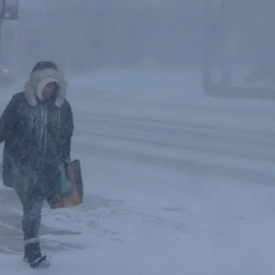
Central New York is bracing for another round of lake effect snow and frigid wind chills this weekend. According to meteorologists, significant accumulation is expected with some areas potentially seeing over a foot of snow. The National Weather Service (NWS) has issued warnings as the temperature plummets to dangerously low levels, with wind chills projected to make it feel even colder. ‘The combination of snow and wind will create hazardous travel conditions,’ said a spokesperson from NWS. Residents are advised to prepare for potential power outages and are encouraged to stay indoors if possible. This harsh winter weather comes just before what meteorologists predict will be a relative warm-up mid-week, which could lead to flooding as the snow begins to melt. Reports indicate that before the thaw, other regions of New York will also experience similar weather patterns, further complicating conditions across the state. Local agencies are on high alert as conditions are expected to deteriorate rapidly, and communities are urged to monitor local forecasts as they prepare for the snow and extreme cold. The warm-up forecasted could bring temperatures rising into the 40s, a stark contrast to the current bitter cold.
Lake Effect Snow and Harsh Wind Chills Return to Central New York