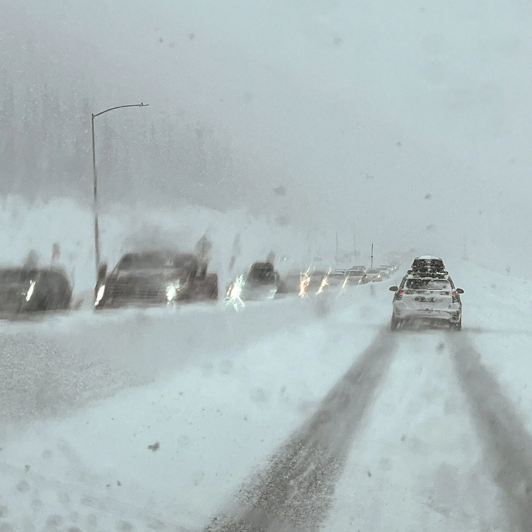
As Colorado steels itself for a significant snowstorm, weather experts predict that the state will experience heavy snowfall, particularly in the southeast mountains and along the Front Range. The storm is expected to roll in on Thursday, bringing not only snowfall but also icy conditions that may impact travel and daily activities. According to the National Weather Service, the heaviest snow is anticipated in areas like Denver, where totals could reach between 4 to 8 inches by Thursday evening. In the foothills and mountains, higher elevations could see accumulations of up to 12 inches or more, leading to concerns about road safety and accessibility. ‘This storm is significant and could affect travel for many Coloradans,’ said meteorologist Nick O’Connor. Meanwhile, residents in the plains can expect rain showers with some snow mixing in as temperatures drop. The Front Range and eastern plains will likely experience minimal impacts, but as the storm intensifies, even these areas could see some snow accumulation late Thursday. Local authorities are advising residents to monitor weather updates and be prepared for potentially hazardous conditions. ‘Travel could be tricky, and we advise everyone to stay updated with the latest forecasts,’ warned O’Connor. As snowfall begins to taper off late Friday, conditions should improve, but the storm will leave its mark on the state, prompting many to prepare for a wintery weekend ahead.
Colorado Braces for Heavy Snowstorm as Weather Conditions Deteriorate