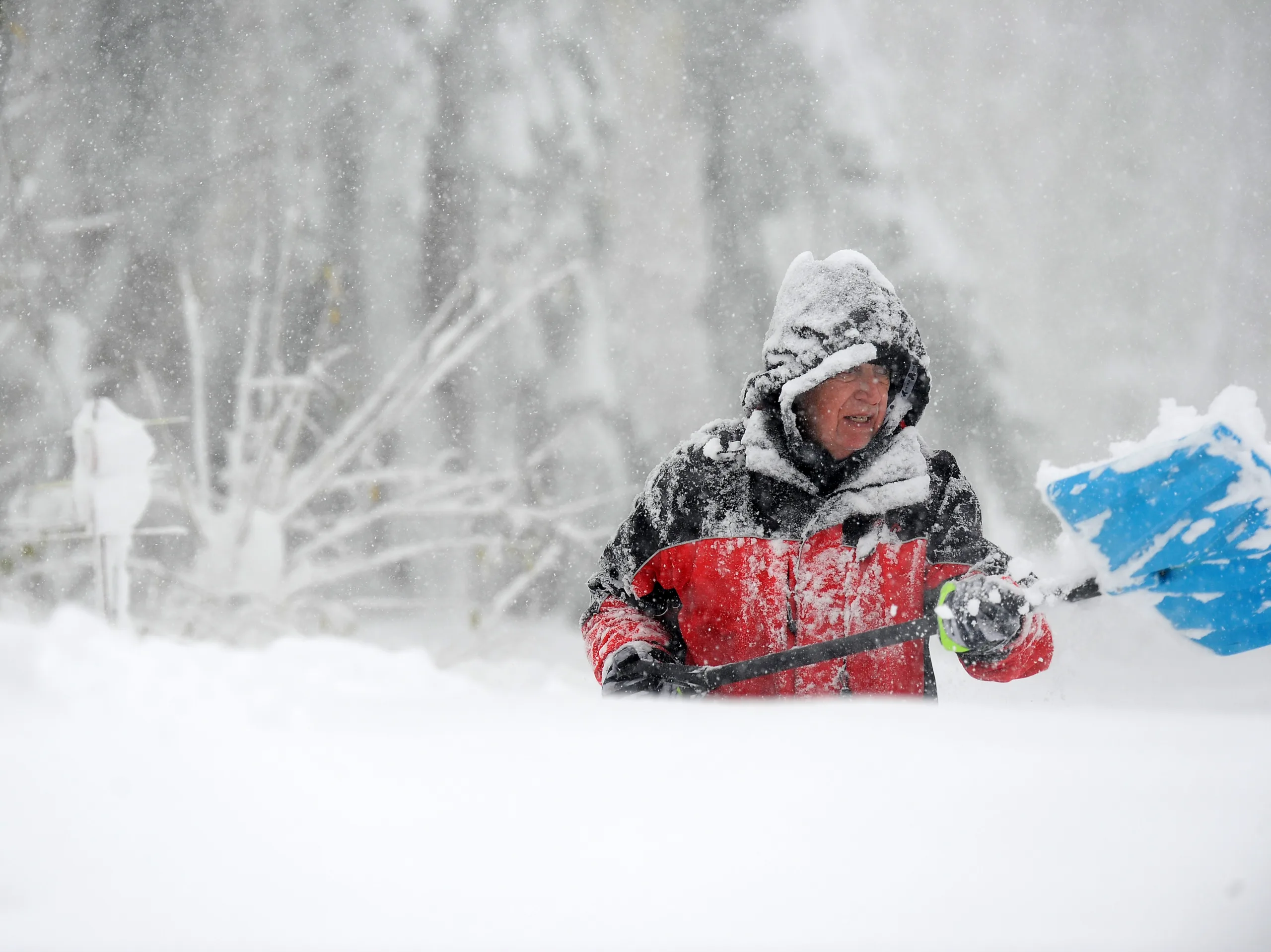
Western New York is bracing for heavy lake effect snow, with forecasts predicting accumulations of up to 5 feet in localized areas. As of late Monday, the National Weather Service had issued a lake effect snow warning for counties including Erie, Niagara, and Genesee. The snow is predicted to start tapering off late Monday evening, but not before leaving significant amounts in its wake. Meteorologist Justin Horan reported that this storm is shifting south, a common occurrence in winter patterns. Many areas along the Lake Erie shoreline are in the storm’s direct path, experiencing the most intense snowfall. Residents are urged to prepare for hazardous travel conditions due to reduced visibility and treacherous roadways. State officials are advising motorists to stay off the roads where possible until the storm has passed. “This is a serious weather event,” stated State Emergency Management Director James A. McCarty. “We are monitoring developments and doing everything we can to ensure public safety.” The snowfall is expected to impact evening commutes significantly, with many roadways potentially becoming impassable. As drivers are warned of rapidly changing conditions, authorities are emphasizing the importance of emergency preparedness and keeping up to date with weather advisories.
Lake Effect Snow Burying New York as Warnings and Advisories Are Issued